Community artist and activist using data, media and technology for social change.
I use media, data, maps and history to bring to life stories and narratives. I am passionate about housing as a human right, and the right to the city.
- Freelance | Activist | Collaborator: Policy, research, media, interactive storytelling, data, maps, history, documentary and educator
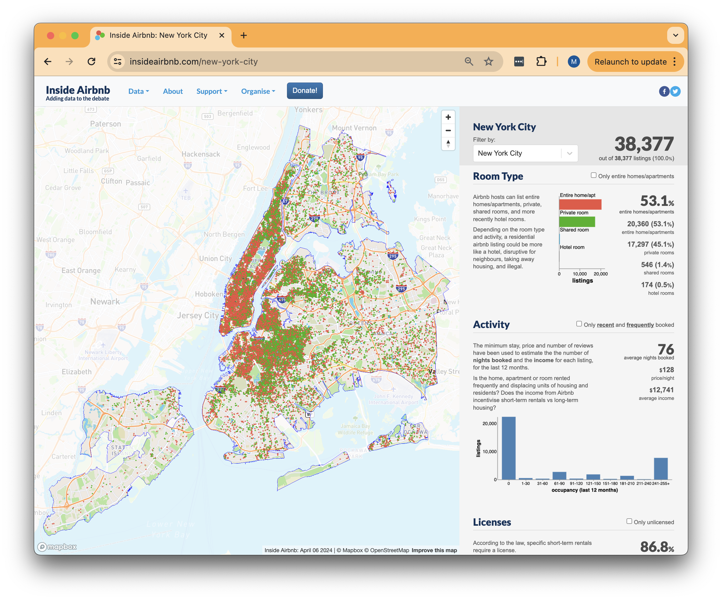
- Inside Airbnb: Data activist and anti-touristification organiser
- Housing Justice Data Lab: Data activist, housing justice and the right to the city

